Multiple routes south of the creek walk to rest of valley. Before and after W. Seneca turnpike there are bridges to cut accross by bike or walking.
Valley drive does not have bike lanes but traffic is reasonable and speed limit is 25mph
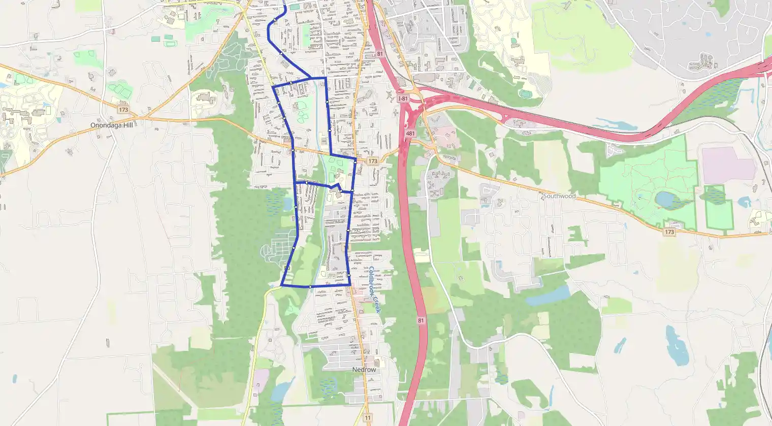
South valley after end of creekwalk
September 10, 2026
City of Syracuse, New York, United States
Easy
Not completed
Distance 10.62 km
Est. duration 01h 59m
Elevation Gain 32 m
Elevation Loss 31 m
Category Biking
Description
Route
Start
10.62 km
Finish